Maps of Predicted Climate Change Effects
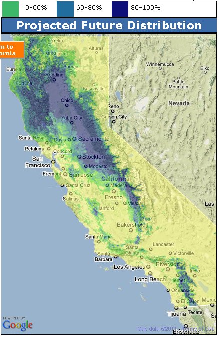
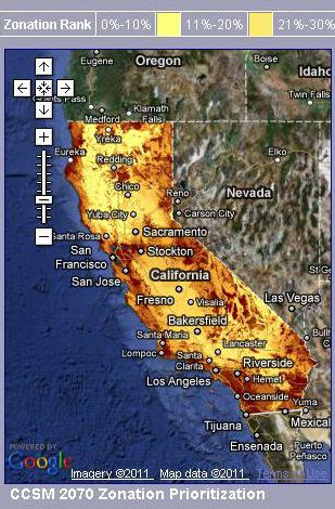
California's terrestrial ecosystems are particularly vulnerable to future changes in the global climate, including increased temperatures, changing precipitation patterns, and changes in human infrastructure and development.
Information on the potential effects of climate change on bird communities can help guide effective conservation and inform land management decisions. We are using climate models and multi-source bird data, networked for the first time thanks to the Avian Knowledge Network, to predict current and future species distributions for California terrestrial breeding bird species.