
The following protocols are widely used throughout the Midwest region and can be incorporated (most already are) in the Midwest Avian Data Center:
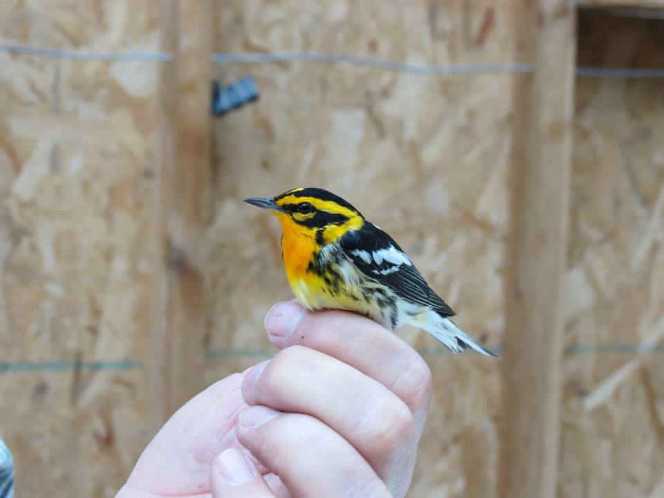
Midwest Migration Network - Banding Initiative Protocol (Version 10/18): This manual is designed to guide you through the steps of gathering systematic migration data and to address any questions that may arise. A standardized methodology for mist-netting and bird banding during migration will address both landscape and local scale questions related to avian population parameters, habitat use, and connectivity. This methodology can provide annual indices of population size, fall age ratios for productivity, spring age ratios for winter survival and migrational mortality, recruitment into adult populations, and understanding connectivity between breeding, wintering, and migrational stopover habitat to discern distinct populations. Portions of these data will be useful by researchers developing the full life cycle models for multiple landbird species.
National Protocol Framework for the Inventory and Monitoring of Breeding Landbirds Using Point Counts (Knutson et al. 2016): This protocol is a standardized tool for monitoring breeding landbirds by use of point counts and was designed for use in U.S. Fish and Wildlife Service (FWS) Regions 3 (Midwest) and 5 (Northeast). Our goal was to promote the use of compatible field sampling methods among land managers in the Midwest and Northeastern U.S. and facilitate interagency habitat conservation and monitoring in the future.
Handbook of Field Methods for Monitoring Landbirds (Ralph et al. 1993): This handbook is a compilation of methods that can be used to assay population size, demographics, and status of many species of birds occurring in a wide variety of habitats. The handbook will prove useful to field biologists, managers, and scientists anywhere in the New World from the arctic through the tropics. The methods include four types of censuses for determining population size and trends, mist-netting and nest searches to determine demographic parameters, and other methods that will be useful in operating a monitoring station, including habitat and weather observations, and suggestions for training personnel and possibilities for detailed studies. Suggestions of specific methods and data forms are included.
 Program for Regional and International Shorebird Monitoring (PRISM; 2018): The purpose of this document is to provide a unified set of standards to design and implement nonbreeding shorebird monitoring programs and projects throughout the Western Hemisphere. Application of these standards will help achieve the PRISM objectives of: 1) estimation of abundance and distribution and changes in abundance and distribution (trends); 2) determination of habitat relationships and any changes in the relationships; and 3) identification of key drivers of patterns and changes in abundance, distribution, and habitat relationships.
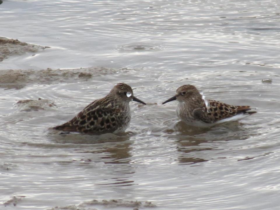
International Shorebird Survey (ISS; 2018): To know where conservation is needed -- and if initiatives have been effective -- shorebird scientists require a broad understanding of species populations and trends. In 1974, Manomet organized the volunteer-based International Shorebird Survey (ISS) to gather information on shorebirds and the wetlands they depend on. Through the work of dedicated volunteers conducting field surveys during spring and fall migrations, this monitoring network provides hemispheric data on shorebirds. In 2007 ISS partnered with eBird to allow ISS participants to enter their data using the same methods they use to enter normal eBird data.
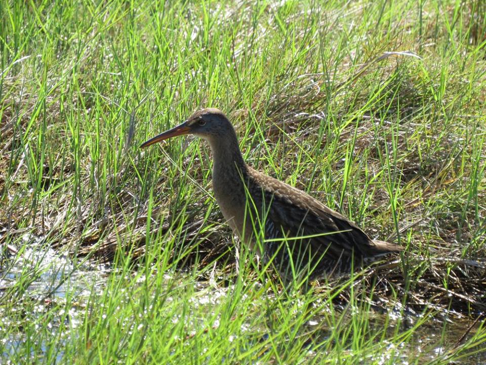
Waterbirds
Waterfowl
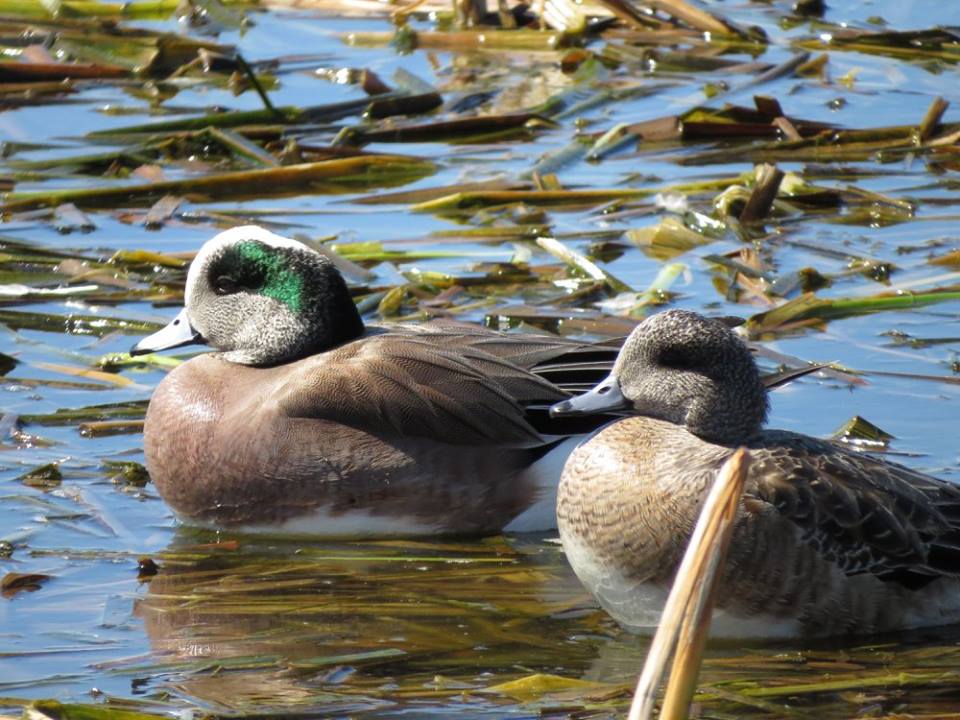 Monitoring Waterfowl in the Midwest during the Non-breeding Period: Challenges, Priorities, and Recommendations (Soulliere et al. 2013): A recent focus on nonbreeding waterfowl demonstrated that monitoring priorities and challenges vary across the Midwest, reflecting different landscapes, species composition, and wildlife agency information needs. We review examples of traditional and experimental survey activities across two primary eco-regions in the Midwest and provide recommendations to enhance waterfowl monitoring during the non-breeding period. Although organismal, geographic, and administrative needs vary, potential exists for a collaborative survey that maximizes efficiency of migratory bird monitoring programs.