Applications Hosted by CADC
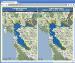 |
Future San Francisco Bay Tidal Marshes – a Climate Smart Planning Tool Decision support tool for adaptation planning, restoration potential, and land acquisition related to San Francisco Bay tidal marsh ecosystems. Displays modeling results for various sea-level rise and sedimentation scenarios, allowing users to explore how tidal marsh habitat and bird species distribution may change over the next 100 years. |
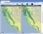 |
The Environmental Change Network A collaborative effort of the California Landscape Conservation Cooperative and Point Blue Conservation Science to establish an integrated long-term environmental monitoring program for a range of common variables of major environmental importance on which to base climate change predictions and prioritize conservation activities. |
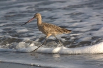 |
Pacific Flyway Shorebird Survey A broad-scale, international program to detect trends and quantify habitat associations for Pacific Flyway shorebird populations. |
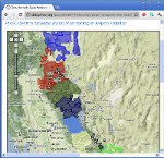 |
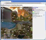
The Sierra Nevada Avian Information Network This site serves as a nexus to explore the results of 5 avian monitoring projects within the Sierra Nevada: Bioregional Monitoring, Aspen Enhancement, Fuels Treatments, Post-Fire Habitat and Mountain Meadows. Each project monitors distributions of key indicator bird species in response to a restoration/management practices within the habitat studied to help assess restoration actions across the Sierra Nevada. |
 |
Integrated South Bay Avian Database The South Bay Salt Pond Restoration Project is the largest tidal wetland restoration project on the West Coast. This application facilitates the synthesis and visualization of the all available long-term avian data to support informed management decisions. |
 |
Bird Species of Special Concern A collaborative effort of Point Blue Conservation Science and CA Fish and Game that provides a means of exploring and contributing to an examination of California's at-risk bird species. The site offers data summaries, maps, climate models, resources for bird conservation and provides a way for the user to suggest changes to the list and ratings of birds of special concern. |
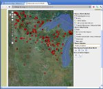 |
Midwest Avian Data Center A regional node of the Avian Knowledge Network led by the US Fish & Wildlife Service (Region 3). It makes avian monitoring data, and tools developed to query and analyze these data, accessible to habitat managers, conservation practitioners, scientists and the public. |
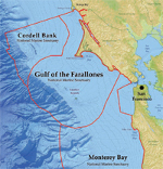 |
Our Coast Our Future Provides Bay Area natural resource managers, local governments and the public with a science-based, decision-support tool to plan for, and respond to, sea level rise and storm hazards along the region's outer coast. |
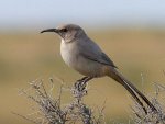 |
Carrizo Plain Le Conte's Thrasher Establishes a baseline population for the Le Conte’s Thrasher, a CA species of special concern, within the Carrizo Plain National Monument. This information will assist in long-term monitoring of the population and in assessing the impact of habitat loss. |
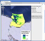 |
Ross Sea Bioregionalization Site The Ross Sea, Antarctica, is the least affected stretch of ocean remaining on Earth. This site provides access to datasets and maps relevant to exploring physical and biological aspects of the Ross Sea, contributed by more than 40 projects spanning 100 years. |
 |
Penguin Science File Sharing Site This site provides access to data collected by the Penguinscience project. |
